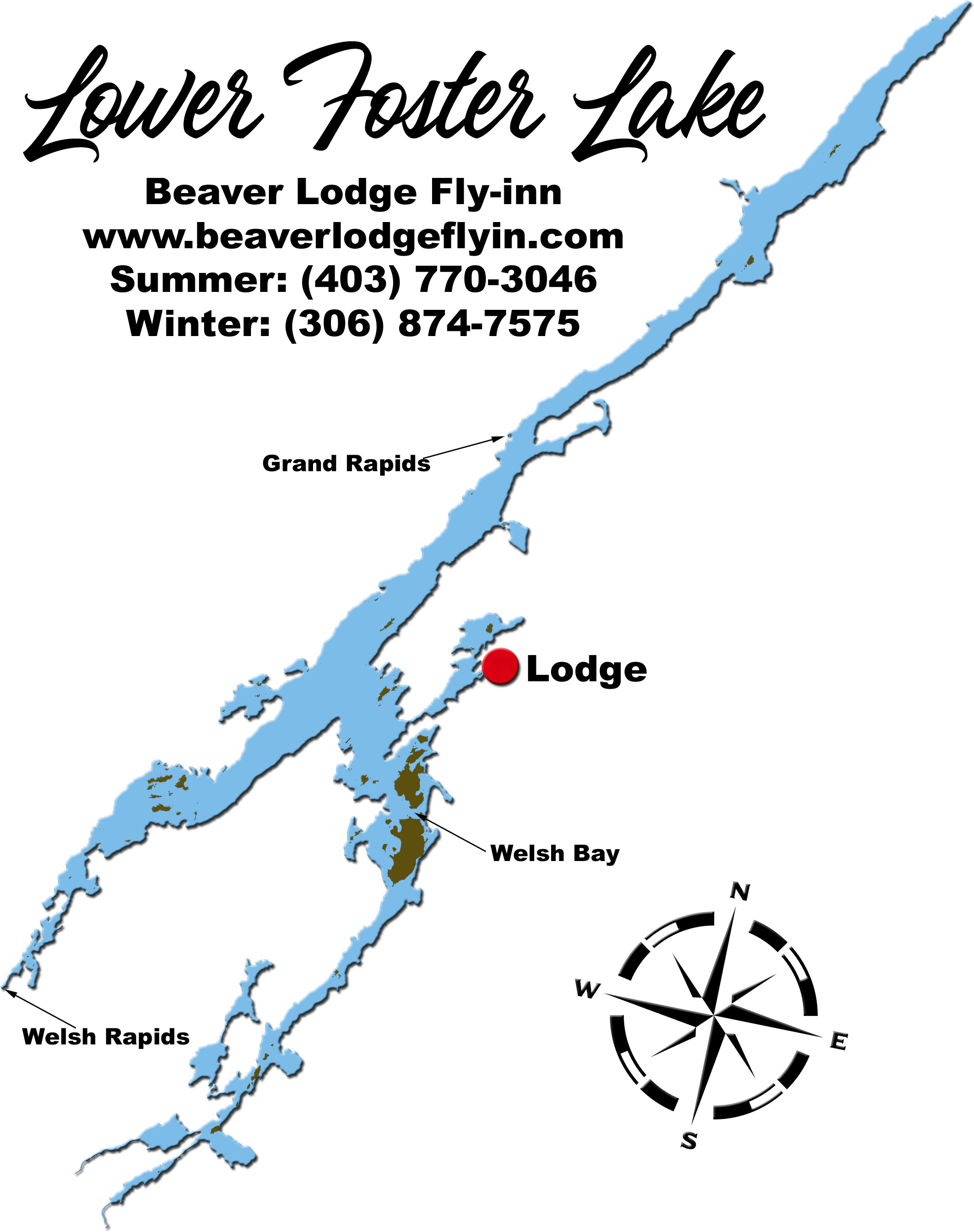
Please Note: The map below can be altered by water levels. Shoals may sometimes be islands. Some narrows may be shallow and difficult to pass at dry times of the year.
Max Depth: 140 feet
GPS: 56°33'N 105°23'W
Surface Area of Main Lake: 10,800 acres - 18.5 miles²
Elevation above Sea Level: 1742 feet
Game Fish Species: Northern Pike, Lake Trout, Burbot (Ling)
Download printable map of Lower Foster Lake (Adobe .pdf)
 Please click here to download .pdf reader